Vaughan sits on a dense layer of Halton Till, a silty clay deposit left by glacial Lake Ontario. That compact material can hold a vertical cut for a while, but it also masks water-bearing sand lenses that collapse without warning. Every deep excavation here interacts with a perched water table that rises fast after spring thaw. We install inclinometers and piezometers before the first bucket hits the ground. Real-time readings tell us if the shoring is drifting. For projects near the Humber River, we pair the monitoring plan with a slope stability assessment because the valley walls are steeper than they look. A few millimeters of movement can trigger a stop-work order.
A tenth of an inch of lateral movement in till can mean a shoring brace is overloaded. We catch it before it becomes a call to the Ministry of Labour.
Service characteristics in Vaughan
Local geotechnical conditions in Vaughan
A total station sits on a forced-centering pillar outside the zone of influence, locked onto prism targets fixed to the shoring wall. That is the first thing we set up on a Vaughan site. If the wall moves laterally beyond the design envelope, the instrument flags it within the same shift. Settlement monuments across the street catch subsidence before a crack appears in a basement slab. The bigger risk in this city is not the till itself, it is the irregular sand seams that bleed groundwater into the cut. A piezometer spike without a corresponding dewatering response means the system is losing the battle. We have seen excavations dewatered successfully for weeks, only to flood when a sand lens connects to a forgotten well record. Monitoring with a defined action plan keeps the contractor ahead of the water, not chasing it.
Our services
Our monitoring scope covers the instruments, the reading schedule, and the engineering interpretation that turns raw data into actionable site decisions.
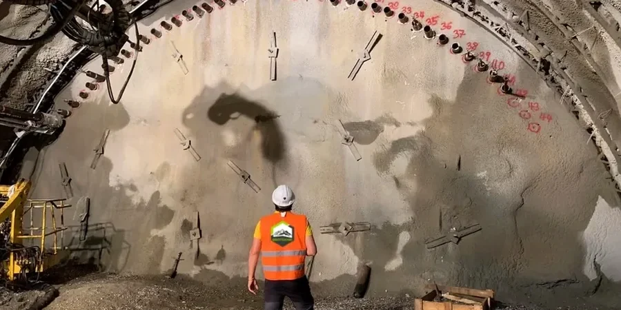
Instrumentation Installation and Baseline Reading
Inclinometer casing, standpipe and vibrating-wire piezometers, settlement markers, and crack gauges installed before excavation begins. Baseline survey with digital level and total station per project-specific monitoring plan.
Daily Monitoring and Threshold Alerts
Twice-daily readings during active digging, vibration monitoring during rock breaking, and automated alerts when movement or water pressure crosses the action levels defined in the shoring design.
Frequently asked questions
What is the typical cost for excavation monitoring in Vaughan?
Monitoring programs in Vaughan generally range from CA$1,290 to CA$3,080 depending on the number of instruments, reading frequency, and project duration. A small commercial excavation with a few settlement points and one inclinometer will be at the lower end. A deep condo excavation with multiple piezometers, vibration monitors, and daily reporting for several months falls at the upper end.
When does the City of Vaughan require a monitoring plan?
The City requires a geotechnical monitoring plan as part of the shoring permit application when the excavation exceeds 3.0 meters in depth or when it is adjacent to existing buildings, municipal infrastructure, or public rights-of-way. The plan must be sealed by a professional engineer licensed in Ontario.
How fast do we get the data after a reading?
The field technician processes the inclinometer and settlement data on site and submits a daily log by 5:00 PM the same day. If a threshold is exceeded, the site superintendent receives a phone call within 30 minutes and a written alert within two hours.
Can you monitor vibration from rock hammering near existing homes?
Yes. We install triaxial geophones on the foundation wall of the nearest structure and record peak particle velocity (PPV) in real time. Limits follow O. Reg. 213/91 and the City of Vaughan's noise and vibration by-law. The system sends an SMS alert if levels approach the limit.
What happens if a reading exceeds the trigger value?
The monitoring plan defines action levels: advisory, review, and stop-work. If a reading exceeds the review level, the shoring designer and geotechnical engineer evaluate the data within 24 hours and recommend mitigation, such as additional bracing, revised dewatering, or a change in excavation sequence.