Vaughan's rapid transformation from a patchwork of rural townships into a dense suburban node north of Toronto has placed unique demands on its underlying geology. The city sits atop the Oak Ridges Moraine and its associated Rutherford Moraine complex, where stratified deposits of sand, silt, and clay-rich till create variable shear strength profiles. With over 300,000 residents and major infrastructure like the Cortellucci Vaughan Hospital and TTC Line 1 extension, cutting into these slopes is unavoidable. Our slope stability analysis provides the data developers need to design cuts, fills, and retaining structures without triggering a landslide. We combine in-situ permeability testing with numerical modeling to understand the groundwater influence on these moraine formations, because a dry slope today can become unstable after next spring's thaw.
A factor of safety of 1.0 means failure is imminent—Vaughan's moraine soils demand a minimum of 1.5 to account for seasonal groundwater swings.
Service characteristics in Vaughan
Local geotechnical conditions in Vaughan
The Ontario Building Code (OBC) and the NBCC 2020 mandate a minimum static factor of safety of 1.5 for permanent slopes, a requirement that carries serious weight in Vaughan. The city's by-law 316-2019 ties site plan approvals directly to geotechnical clearance, meaning an overlooked silt seam can halt a project for months. The biggest hazard here isn't just deep-seated circular failure—it's the rapid drawdown scenario. When the heavy autumn rains saturate the upper sands of the Oak Ridges Moraine and then drain quickly, the pore pressure gradient can trigger localized sloughing. We've seen this happen on Highway 27 corridor projects. Our analysis explicitly models transient seepage using finite element tools, ensuring the design survives both the 1-in-100-year storm and the sudden drop in the water table that follows.
Our services
We structure every slope stability study around the specific stress history of Vaughan's overconsolidated tills. From desktop studies to final construction monitoring, our deliverables integrate directly with your structural and grading plans.
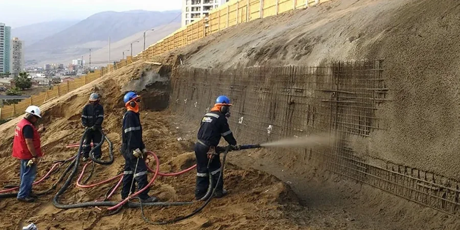
Stabilization Design for Deep Cuts
We evaluate soil nailing, tieback anchors, and reinforced slopes for excavations up to 20 meters. Our analysis accounts for the stiff-to-hard till behavior and the potential for tensile cracks behind the crest.
Embankment and Fill Slope Verification
For engineered fills on the Rutherford Moraine, we test the compacted borrow material and model settlement and stability under rapid loading, ensuring compliance with OPSS specifications for municipal infrastructure.
Frequently asked questions
How much does a slope stability analysis cost for a typical Vaughan site?
For a standard residential or commercial lot in Vaughan, the fee generally ranges from CA$1,700 to CA$4,890. The final cost depends on the number of boreholes needed, the depth of the planned cut, and whether we need to run transient groundwater simulations. Sites along the Humber River valley with complex stratigraphy may require additional instrumentation and lab testing.
How long does it take to get a slope stability report?
A preliminary assessment with existing data can be turned around in two weeks. A full investigation involving drilling, lab triaxial testing, and detailed numerical modeling typically takes four to six weeks. We coordinate field crews around Vaughan's busy construction season to minimize delays.
Do you need to drill on my property to analyze a slope?
Yes, a subsurface investigation is essential. We need to retrieve undisturbed samples of the Halton Till and any interbedded sand layers to measure shear strength. We use track-mounted rigs that can access narrow rear yards near conservation authority lands without damaging landscaping.
What triggers a slope stability analysis under Vaughan's building permit process?
If your proposed excavation is deeper than 1.2 meters and is within a distance of two times the cut height from a property line or existing structure, the city's building department will almost always require a signed analysis. Also, any earthworks adjacent to regulated areas governed by the Toronto and Region Conservation Authority (TRCA) trigger a mandatory slope assessment.